Southside Route  

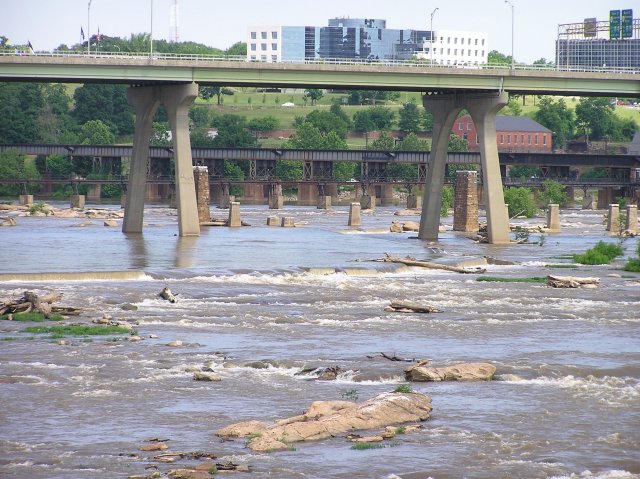
Toward the center of the river, the path through the dam is marked by an X on a dam pillar. This leads to Second Break, a breach in Manchester Dam. This is the safer and preferred route in high water.

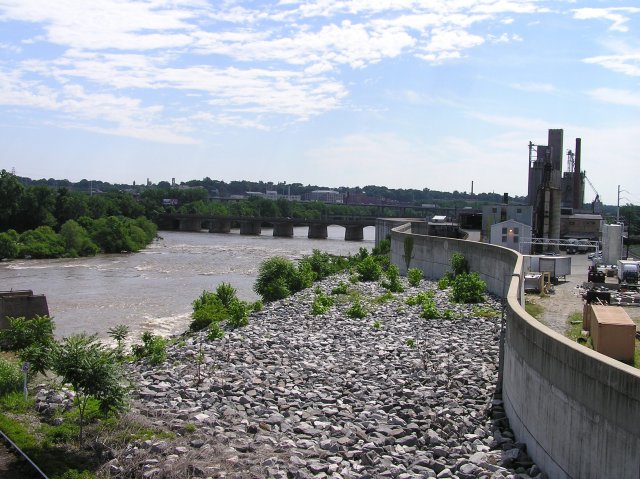
The Floodwall and the riprap at its base is the primary object visible on river right. Just before Mayo's Bridge is a boat takeout and launch site. Just past Mayo's Bridge, we reach the James River Bridge, or Interstate 95 Bridge, built in the late 1950s as part of the Richmond-Petersburg Turnpike.  


Chappel Island on river left forms the south bank of the Richmond Dock (not visible from the river). Richmond Dock at one time was a harbor for sea-going ships and connected with the canal. It is now part of the canal boat road available to visitors to the Canal Walk. At one time the site of a shipyard and other industry, Chappell Island now is the location of the City’s storm water overflow retention basin. The entry from the tidal James to the Richmond Dock was made possible by a lock, now Great Ship Lock Park.  

Back to River Page

<Back |  1  2  3  4  5  6  7  8  9  10  11  12  13  14  15  16  17 | Next>