| Pony Pasture Rapids |
| Pony Pasture Rapids |
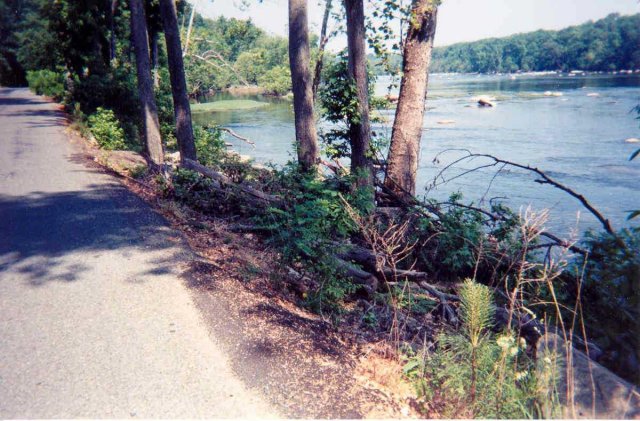 | On river right private homes continue, separated from the river by Riverside Drive. This section, between Huguenot Flatwater and Pony Pasture Rapids, is one of the few places in the |
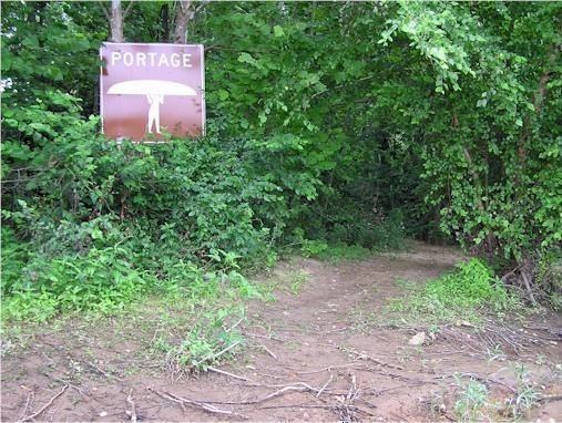
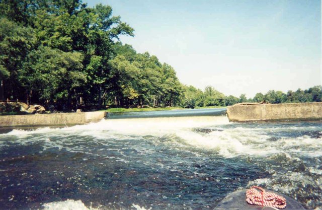
| A short distance takes you to Williams Island Dam, also referred to as Z Dam because of its shape. The Z Dam was built by the City in 1932 to keep water flowing on the north side of Williams Island where a higher dam diverts water into the Settling Basin Feeder Canal. This is the City’s water supply. The traditional route is to portage around the dam on river left. A notch was cut in Z Dam in 1994 to enable the passage of migrating fish.
|
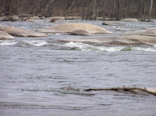
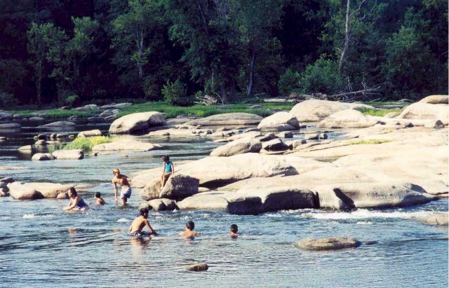
From Z Dam downstream for the next ½ mile or so, the current picks up, taking us to the class 2 Pony Pasture Rapids. Established in197? as a park in the James River Park System, Pony Pasture is a favorite swimming hole and hangout for young people - and was long before it became a public park. |
| Shortly after passing Pony Pasture Rapids, south and north channels converge. |
With the magic of a virtual trip, we can return to the upstream end of |