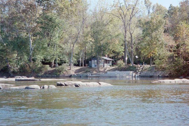
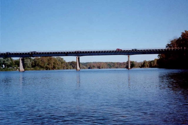
| About a mile below Bosher’s Dam, and just upstream of Huguenot Bridge, a private fishing camp and the abutment of the former Westhamption Bridge are visible on river right. The bridge abutment is now apart of Huguenot Flatwater, a part of the James River Park System. Huguenot Flatwater features a hand-launch boat ramp with a center slide that encourages “seal entry” by kayakers and canoeists. Huguenot Flatwater was recently renamed from Huguenot Woods to better depict its use pattern. Huguenot Woods became part of the City park system in 197? when the property was purchased by the Historic James Greenbelt Corporation and resold to the City with use restrictions attached. Huguenot Bridge,which crosses above the parkland, opened in 1950 to replace the Westhampton Bridge. A new replacement bridge is in the planning stage. |