![]()
If you are
would like greater detail than this description provides, consult the Falls of the James Atlas, published by the Virginia Canals and Navigation Society. The Atlas is available from
the James River Association at (804) 730-2898. Another good source used is Charles Ware’s
unpublished document “What Every Raft Guide Should Know …About History Along the
James River.”
|
|
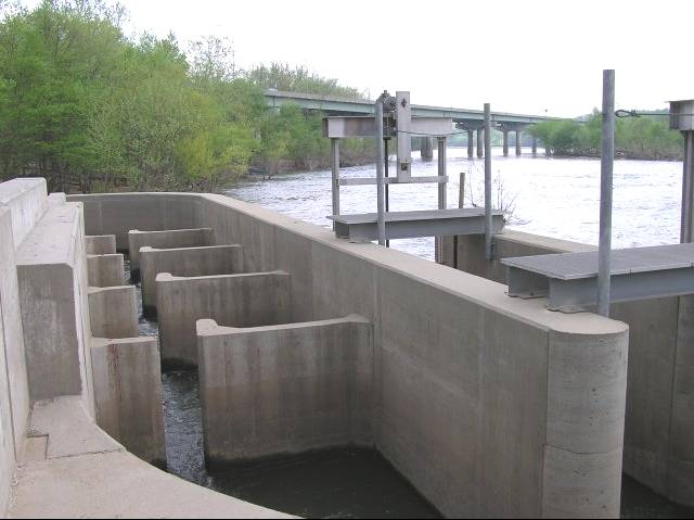
| Let’s begin just above Bosher’s Dam. (There currently is no public land access to the river at this point. It can be reached by paddling downstream from Robious Landing or upstream from Huguenot Flatwater). While portaging around the dam on river left, be sure to take a good look at the recently constructed fishway. The fishway, constructed in 1999 removes the last barrier to anadromous fish (which go upstream to spawn) for 180 miles. (See Virginia Department of Game and Inland Fisheries Shad Camera) |
|
| After entering the river below the dam, looking upstream, the water
is flowing over the dam and creates a white cascading wall.
Bosher’s, backs up water so that it will flow into feeder canal leading to the |
 | As we begin downstream, we are almost immediately beneath the | 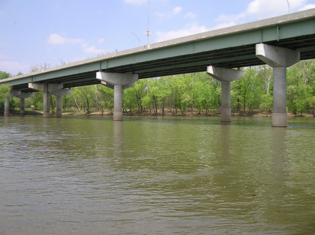 |