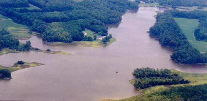
Mulberry
Creek from the Air
morattico.com
 photograph courtesy of pm and ss
e
|
w
Mulberry
Creek (shown here from the approximate point of its mouth), referred to
on Webb's 1835 map and on geological survey maps of the 1920's as
Mud Creek (and even earlier by Joseph Ball II as "Mud's Creek") is a tidal
stream about two and a half miles long, which enters the Rappahannock River
at Colbert Point, approximately
twenty-six miles above the river's mouth. Behind Colbert Point the
creek broadens north
and west into a small bay known as House Cove or Colbourn's Cove (not visible
in the photograph) from which it proceeds in an east-southeasterly direction
to its head at Forest Landing,
where once stood a wooden footbridge.
On the northern shore of the creek are Brick Kiln Cove, Racoon Cove, and
Anthony's Cove.
Belle Isle is the body of land visible on the southern bank of the creek.
Home
 morattico.com


